Datasets
Open Explore in the sidebar to choose a dataset.
The datasets available to you depend on your plan. If you need data that isn’t here, click Bespoke Data Request in the sidebar.
Choose a location
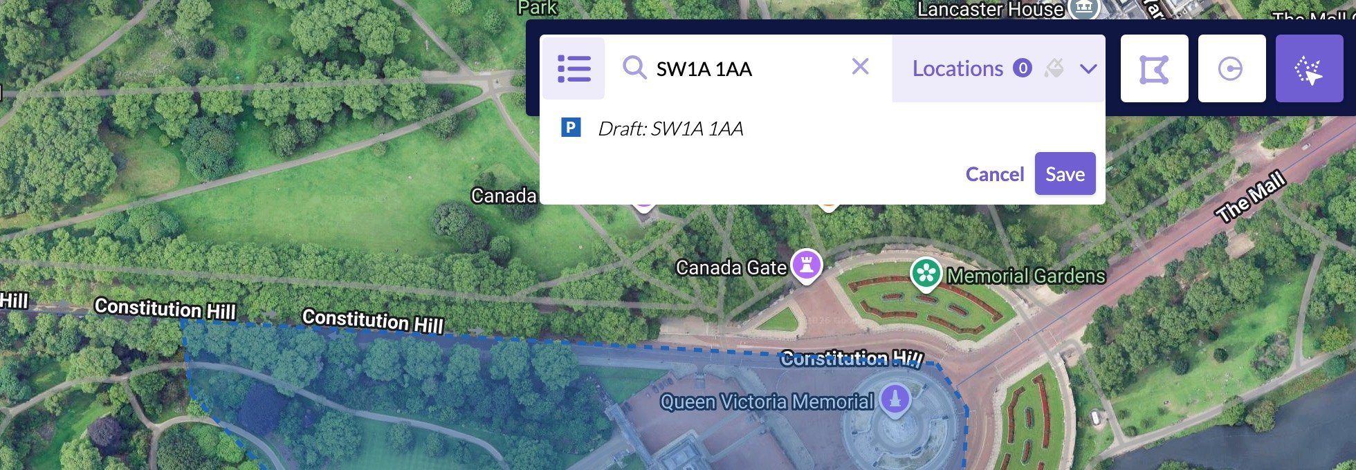
You can search for an area or draw one on the map.Search
Use the Search by switch to choose what you’re searching for:- Postcode
- Local Authority
- Title Number
- Planning Ref Number
- London Transport Zones
Draw on the map
- Draw Polygon to outline any shape
- Draw Circle to choose a radius around a point
- Select location on map to click an area on the map
Reuse locations
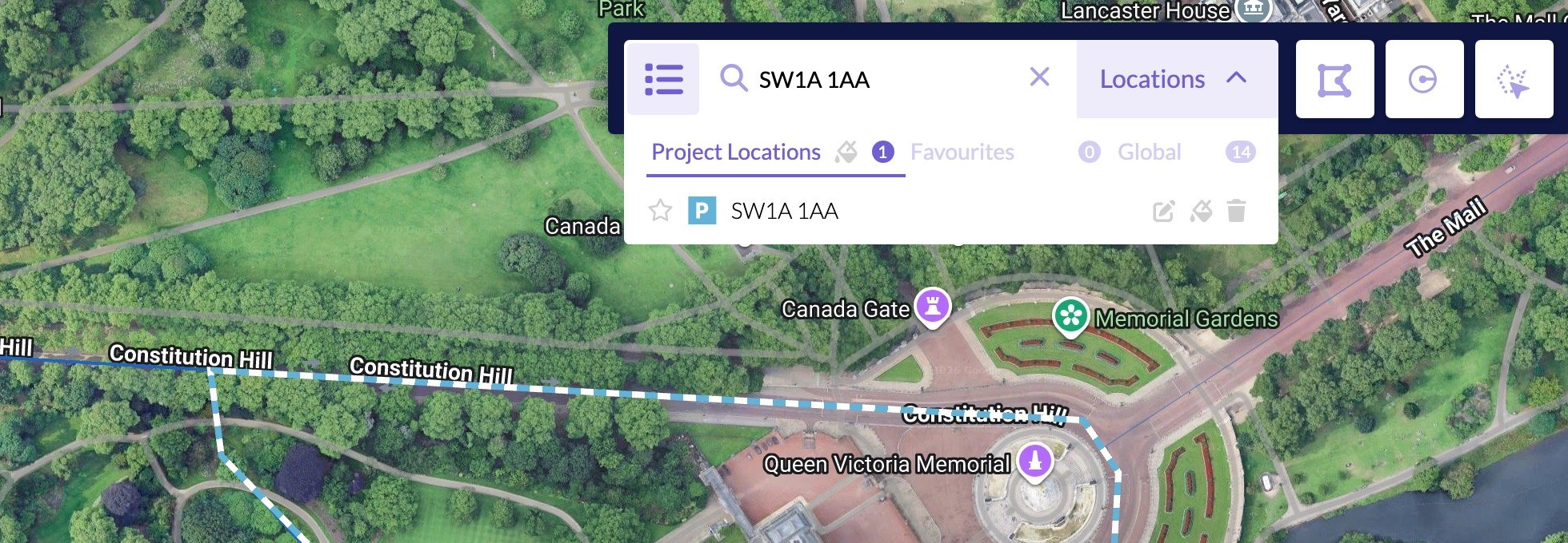
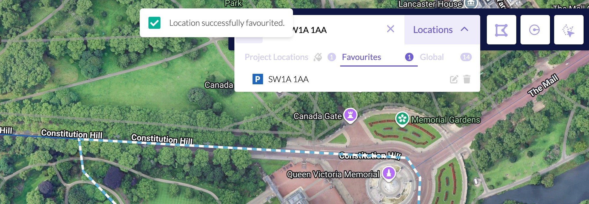
Open Locations on the map. The picker has three tabs: Project Locations for areas already used in this project, Favourites for areas you’ve saved, and Global.Save a favourite
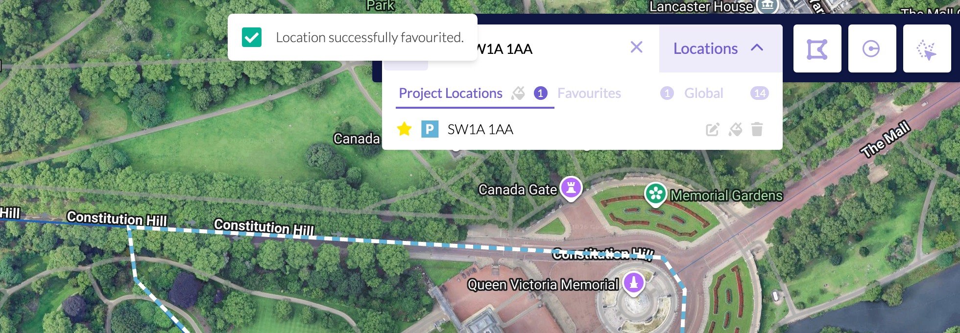
A favourite is a copy of a project location, so you can use the same area in another project. Search for the area, or draw it. When it shows as a draft, click Save. It then sits under Project Locations.